Resources
Maps, documents, local attractions, and helpful links for Lake Julia residents and visitors.
Maps, documents, local attractions, and helpful links for Lake Julia residents and visitors.
Resources Overview
This section collects the practical reference materials most useful to Lake Julia property owners and visitors. You'll find maps identifying all 49 properties and the lake's depth contours, official Association documents, and curated links to Wisconsin DNR resources, county services, and regional organizations.
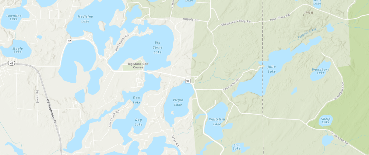
House map, bathymetric depth map, interactive GIS viewer, and county parcel map links for Oneida and Forest Counties.
View Maps → DocumentsCorporate documents, the 2010–13 Onterra lake study, community survey results, memorabilia, and miscellaneous records.
Browse Documents → ActivitiesDay hiking trails, the Three Eagle Bicycle Trail, nearby live video streams, and things to do in the Three Lakes area.
Explore → ExternalWisconsin DNR, county resources, regional organizations, and other useful external references for lake residents.
View Links →